GEORGE TOWN, Oct 14 — A total of 53 areas in Penang have been identified as flood hotspots based on records of flooding in the area in the past three years.
Penang Chief Minister Chow Kon Yeow said 10 of the hotspots are in the northeast district on the island, 13 in the southwest district, six in North Seberang Perai, 18 in Central Seberang Perai, and six in South Seberang Perai.
He said only areas that recorded floods more than three times in the past three years have been identified as flood hotspots.
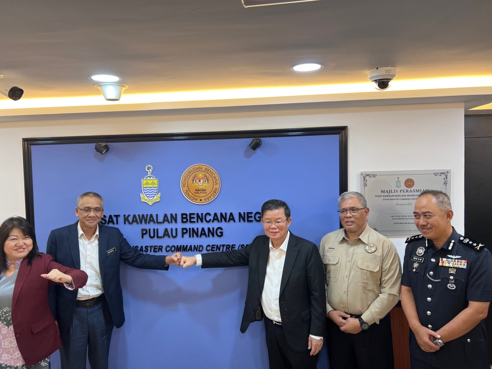
“With these hotspots, we can specify which areas to focus on for effective prevention to reduce risks and impact on residents,” he said at the launch of the state disaster command centre in Komtar today.
He said a total 389 temporary evacuation centres have been prepared in the whole of Penang in the event of any disaster.
He added that the state the number of flood incidents in Penang this year is under control as there are less floods as compared to previous years.
“As of October this year, we did not receive any reports of major floods,” he said.
Chow stated that from the allocation of RM2 million aid for flood victims, only RM270,000 have been spent.
“Two districts do not have any flood incidents so this showed the number of flood incidents in the state have reduced in this past two years,” he said.
He added that the state has continued with its flood mitigation projects in collaboration with the Drainage and Irrigation Department.
“There are now 14 ongoing flood mitigation projects at a cost of about RM1 billion where a large sum was allocated by the federal government,” he said.
According to Chow, these projects will reduce the impact of flooding in hotspot areas.
“These projects will also reduce risks of flash floods while improving the state’s capabilities in facing unpredictable weather conditions,” he said.
He said when more similar projects are implemented, flood incidents can be reduced.
On the launch of the state disaster command centre, he said it will strengthen coordination between relevant agencies in terms of disaster management.
“This is the main coordination centre so if the Meteorological Department issues a weather warning two or three days earlier, this centre will activate the highest level of preparedness to coordinate rescue actions on the ground,” he said.
He said the use of digital technology and monitoring systems such as CCTV will also help the authorities to monitor the situation on the ground while enabling early warning systems for landslide risks.