KOTA BARU: The Fire and Rescue Department has placed its air unit on full standby to conduct aerial surveys and deliver food supplies to areas cut off by rising floodwaters.
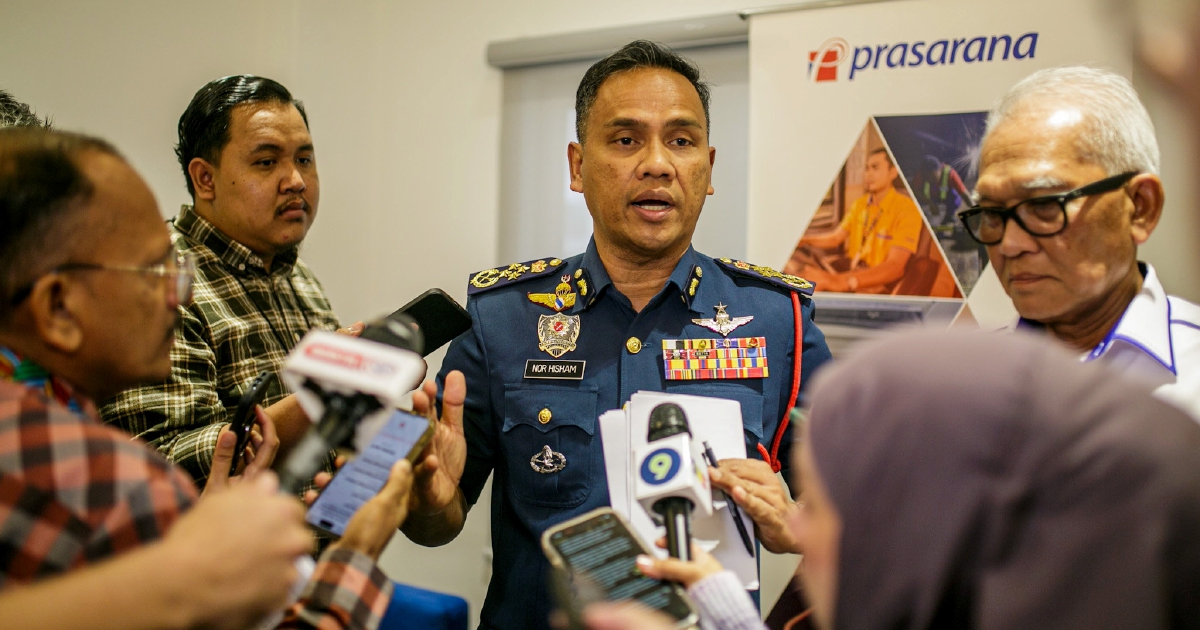
Its director-general, Datuk Seri Nor Hisham Mohamad, said the department is also deploying drones to identify safe routes for boat teams entering remote and hard-to-reach villages.
“We are ready to mobilise our air assets at any time, especially for isolated areas.
“Drones are being used to map safe passages and support ground operations,” he told NST.
Nor Hisham said all firefighters nationwide are currently working 12-hour rotational shifts, which will switch to 24-hour shifts should conditions worsen.
“To ensure every station maintains maximum strength at all times, leave in affected states will be frozen immediately.
“Only 20 per cent of officers and personnel will be allowed to take leave during this period,” he added.
He added that data from the National Fire and Rescue Operations Centre showed a significant spike in incidents over the past 48 hours.
Among the incidents recorded nationwide were 69 cases of fallen trees, mostly reported in west-coast states such as Selangor and Kuala Lumpur due to thunderstorms.
“There were also 67 flash flood incidents, particularly in urban areas experiencing over 60mm of rainfall in a short period,” he said.
Flash floods are often triggered by short bursts of heavy rainfall like 60mm or more, especially during the monsoon season, because rivers rise quickly and drainage is sometimes inadequate.
Based on current rainfall readings from METMalaysia and river levels from Public Infobanjir, Nor Hisham said the department has identified three major high-risk zones.
The first is the Primary Zone of East Coast River Basins in Kelantan and Terengganu.
“This region remains the most vulnerable due to concentrated monsoon rainfall.
“For Kelantan, key focus areas include Pasir Mas, particularly Rantau Panjang, Tumpat, Kota Bharu, Bachok, and low-lying parts of Tanah Merah.
“The Sungai Golok water level is rising and is currently above its warning level,” he added.
In Terengganu, the high-risk districts are Besut, Setiu, and upriver areas in Hulu Terengganu, he said.
“Although the monsoon is centred on the East Coast, the West Coast faces its own threats,” he added.
The department is closely monitoring Klang, Selangor, and parts of Penang, where drainage systems may be overwhelmed if heavy rain coincides with high tide in the evenings.
“Continuous rainfall may also cause soil saturation, heightening the risk of landslides and slope failures, particularly in hillside settlements and highland routes,” Nor Hisham said.
© New Straits Times Press (M) Bhd